Who we are
Find your next
Demand-driven and designed around the evolving needs of individuals, organizations, and industry, Butler+ offers professional learning opportunities powered by the faculty and colleges at Butler University.

 Arts & Literature
  Business & Communication
  Education & Counseling
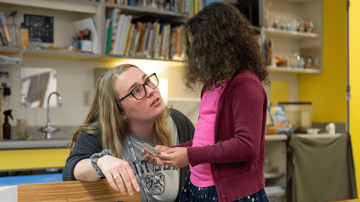
  Healthcare
  Risk & Insurance
 Or Search By Program
Join a community that’s rethinking professional learning.
An education that propels your career forward, instead of halting it.
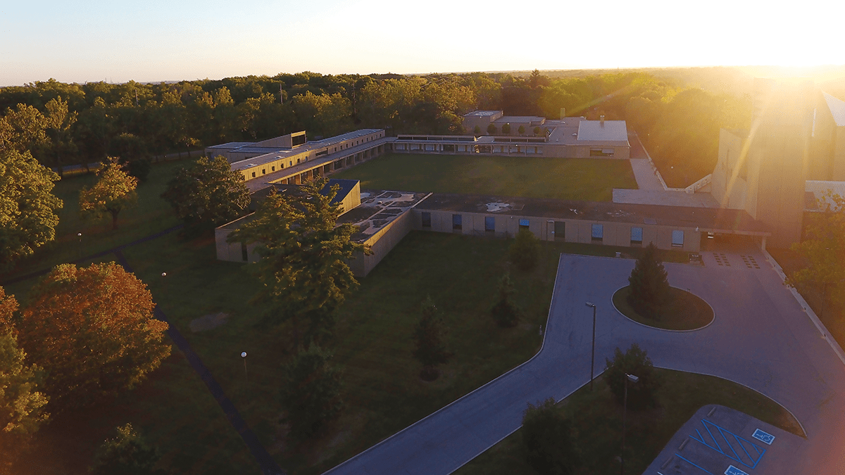
Future-focused growth opportunities for the state of Indiana.


Co-Create a Custom Curriculum
Connect With Innovative Faculty
When your company partners with Butler+, we will co-create a program to spark growth for your employees and your company.
Join a community that’s rethinking professional learning.
An education that propels your career forward, instead of halting it.
Future-focused growth opportunities for the state of Indiana.